


The Lyke Wake Walking Trail
11/07/2025
The Lyke Wake Walk is a 40-mile challenging walk across the North York Moors National Park, traditionally completed within 24 hours. Our guide covers the Ravenscar to Blakey section, but its full length route stretches to all the way to Osmotherley.
A historically challenging walk, the route ame derives from the "Lyke Wake Dirge," a Yorkshire dialect song about watching over a corpse ("lyke" meaning corpse, "wake" meaning vigil), reflecting the walk’s eerie folklore and historical ties to death and burial rituals. The route follows the moors’ high ground, passing ancient burial mounds, medieval crosses, and old coffin routes.
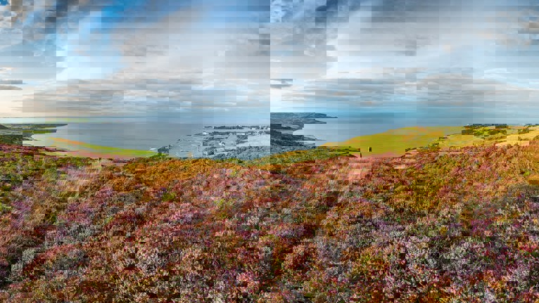
Start: Ravenscar
The coastal hamlet of Ravenscar perches atop a 600ft headland. Once planned to be an elegant seaside resort, Ravenscar became the 'town that never was' and instead today it is home to an abundance of wildlife and ancient woodlands. Start out your walk here, take in the sea views, and then begin heading west inland, south of Fylingdales and to the 'Lilla Cross'.
The Lilla Cross became a waymarker hundreds of years ago for those travelling between Whitby, Robin Hood's Bay and Pickering.
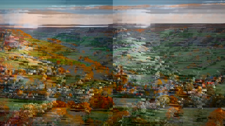
Wheeldale
Continue west and cross the North York Moors Railway track (if you're lucky, you might see one of their heritage trains!). Cross Eller Beck Bridge and head on to where the famous Wheeldale Roman Road remains are situated - an enigmatic mile long ancient road surrounded by beautiful moorland. The road was once named 'Wade's Causeway', deriving from a local folk tale about a giant named Wade who lived at Mulgrave Castle.
End: Blakey Ridge
After visiting Wheeldale, continue west towards Rosedale Abbey. Follow the boundary stones to where the 'Blue-Man-i'-th'-Moss stands. This standing stone is a boundary marker, believed to have been standing since pre-Roman times. Pass by another cross, this one known as Young Ralph's Cross, before turning south and finishing up this part of the route at the Lion Inn.
If you're still raring to get more steps in, continue south from the pub to the charming village of Hutton-le-Hole for refreshments and a relaxing break.
Important Notes & Tips
Navigation on this walking route can be tricky due to sparse signage, requiring maps, GPS, or the Cleveland Way for the first 12 miles. Some stretches, such as between Wheeldale and Blakey, are undefined and careful navigation is required.
The route passes by the early warning station at RAF Fylingdales which is a MoD controlled area. Take care to follow the path along the bank of the stream to avoid the off-limits area.
The walk’s appeal lies in its physical and mental challenge, remote beauty, and historical resonance, though it’s less crowded today than in its heyday. Completers of the total route (to Osmotherly) can purchase a coffin-shaped badge, and the route remains a revered test of endurance in Yorkshire’s wild landscape.